St. Clair River (Canada)
All Resolutions
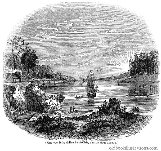
View of St. Clair River, Canada.
Description:
St. Clair River flows in North America and connects the southern tip of Lake Huron to Lake St. Clair. It is about 64 km long (40 miles) and forms part of the boundary between Canada and the United States. Several communities rely on the river as their main supply of drinking water.
The drawing for this illustration was made near lake Huron. The huts on the left were the property of Chippewa (Ojibwe) natives, whose population was said at the time to be decreasing rapidly.
The caption reads in the original French: Une vue de la rivière Saint-Clair, dans le Haut-Canada.
Tags:
Share this: 

 ▲ Top
▲ Top