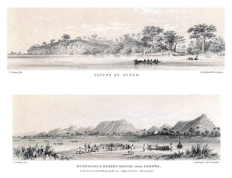
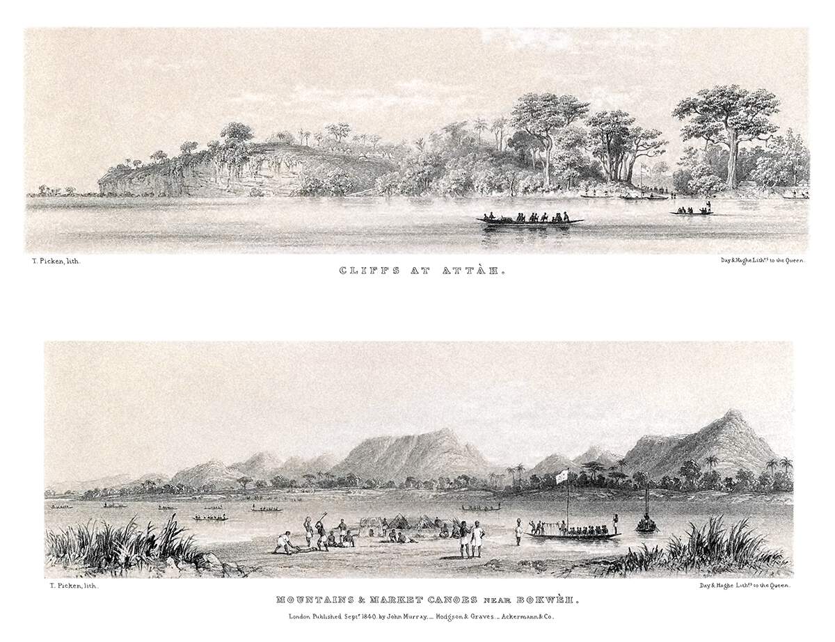
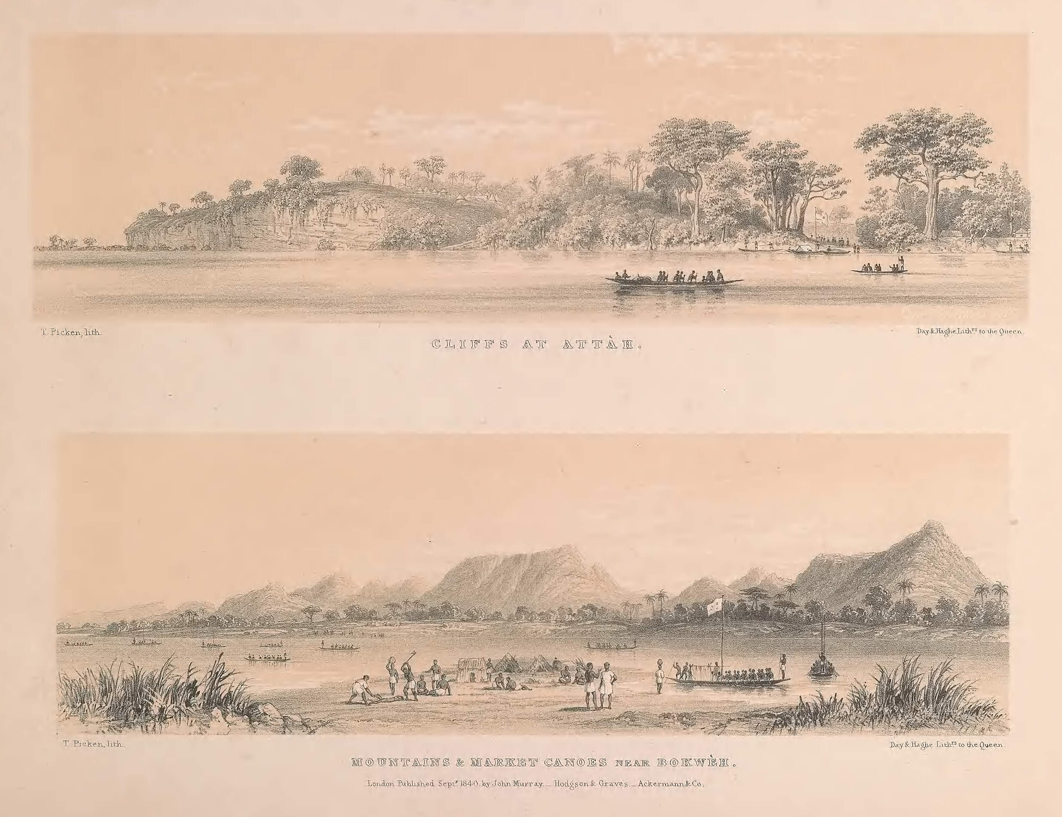
Cliffs at Attàh—Mountains and Market Canoes near Bokwèh
All Resolutions

Cliffs at Attàh.
Mountains and market canoes near Bokwèh.
Description:
Set of two panoramic illustrations showing distinct locations on the course of the river Niger. At the top, a cliff and a hillock dotted with trees can be seen across the water as a canoe glides past; the bottom picture shows numerous canoes approaching a busy bank in the foreground while on the other side, a mountainous landscape stretches into the distance.
According to the map provided at the beginning of the volume, “Attàh” could correspond to modern-day Idah, Nigeria, and “Bokwèh” is to be found upstream, seemingly in the area of Geregu.
Share this: 


▲ Top